The flight, moment by moment
Estabilidad0%Pobre
Linked flights
No linked flights yet. Pick one of your flights below to link it.
Sitio de lanzamiento, fecha y hora
Clic en el mapa · Arrastre para ajustar
Canopy height: Version 2 High Resolution Canopy Height Maps by WRI and Meta was accessed in September 2026 from https://registry.opendata.aws/dataforgood-fb-forestsv2. Meta and World Resources Institute (WRI) - 2026. Version 2 High Resolution Canopy Height Maps (CHMv2). Source imagery for CHM © 2016 Vantor, licensed under CC BY 4.0. Where that is not yet in the database: ETH Global Canopy Height 2020, CC BY 4.0, from Lang, N., Jetz, W., Schindler, K. and Wegner, J. D. (2023), A high-resolution canopy height model of the Earth, Nature Ecology & Evolution. Both reduced to height bands by Altimeter Cloud. Ground height: Terrain Tiles (Mapzen / Tilezen, on AWS Open Data), reduced into resolution tiers by Altimeter Cloud: ArcticDEM terrain data DEM(s) were created from DigitalGlobe, Inc., imagery and funded under National Science Foundation awards 1043681, 1559691, and 1542736; Australia terrain data © Commonwealth of Australia (Geoscience Australia) 2017; Austria terrain data © offene Daten Österreichs – Digitales Geländemodell (DGM) Österreich; Canada terrain data contains information licensed under the Open Government Licence – Canada; Europe terrain data produced using Copernicus data and information funded by the European Union - EU-DEM layers; Global ETOPO1 terrain data U.S. National Oceanic and Atmospheric Administration; Mexico terrain data source: INEGI, Continental relief, 2016; New Zealand terrain data Copyright 2011 Crown copyright (c) Land Information New Zealand and the New Zealand Government (All rights reserved); Norway terrain data © Kartverket; United Kingdom terrain data © Environment Agency copyright and/or database right 2015. All rights reserved; United States 3DEP (formerly NED) and global GMTED2010 and SRTM terrain data courtesy of the U.S. Geological Survey. Map and imagery credited on the view above.
Enter the sea-level pressure you have and QNH is worked out from it, or enter QNH yourself if you have it, such as an airfield’s altimeter setting.
About sea-level pressure and QNH
Sea-level pressure is kept as given: the model’s own, or the figure entered from a forecast or report. QNH is that pressure the way an altimeter setting means it, through the standard atmosphere, and is what the adjusted apogee and the adjusted CSV use.
Model values, not observations. NOAA GFS: weather data by Open-Meteo.com (CC BY 4.0). Ensemble: NOAA GEFS.
FLIGHT 3042/
2.31 Meters
BURNOUT
Motor burn complete
Flights from this altimeter
4 of 4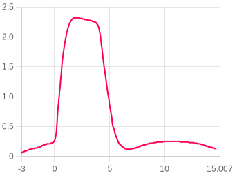
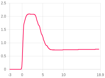
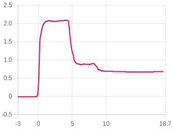
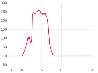
Settings, as they were for this flight
Files
This file is built here from the signed log, so it carries no signature of its own. Anyone verifying a claim should be sent to the flight page and build their own from the original.
Share this flight
Chart snapshot
A PNG of the chart exactly as you have it set right now: the series you have switched on, your zoom, your labels and any pressure correction applied.
QR code
Links to this flight page. Useful on a range card or a club display.
Comentarios