Lil Nuke - Flight with 4 altimeters - 2
The flight, moment by moment
Stabilité85.3%Excellent
Rocket information
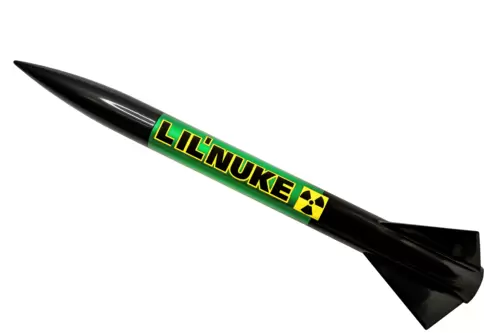
A test of 2x Mercury and 2x Nano altimeters in a Lil Nuke with a G80 Aerotech motors.
| Motor | Alt | Vel | Accel | Apogee | Source |
|---|---|---|---|---|---|
| Estes A8-3 | 135.3 m | 64.8 m/s | 29.6 G | 4.5 s | RockSim (estes_viking.rkt) |
| Estes B4-4 | 282.9 m | 105.3 m/s | 30.0 G | 6.1 s | RockSim (estes_viking.rkt) |
| Estes B6-4 | 288.1 m | 116.9 m/s | 31.0 G | 5.9 s | RockSim (estes_viking.rkt) |
| Estes C6-5 | 475.1 m | 171.4 m/s | 34.4 G | 7.5 s | RockSim (estes_viking.rkt) |
| Estes C6-7 | 483.1 m | 171.4 m/s | 34.4 G | 8.1 s | RockSim (estes_viking.rkt) |
Other flights on this motor
7 · highest first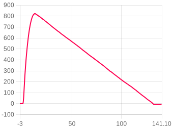
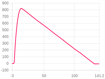
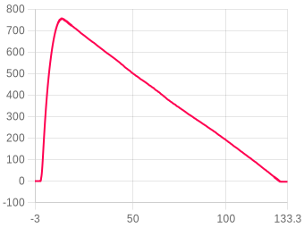
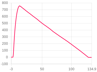
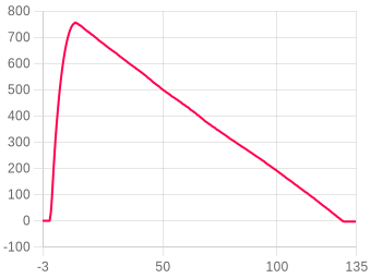
Linked flights
No linked flights yet.
Site de lancement, date & heure
Cliquez sur la carte · Glissez pour ajuster
Canopy height from the Meta and WRI High Resolution Canopy Height Maps v2 (Meta and World Resources Institute, 2026; source imagery © 2016 Vantor), used under CC BY 4.0. Ground elevation built from Terrain Tiles (Mapzen and AWS Open Data), derived from 3DEP and GMTED courtesy of the U.S. Geological Survey, SRTM courtesy of NASA, and ETOPO1 courtesy of NOAA. Map and imagery credited on the view above.
Taken from the NOAA GFS weather model for this place and time, so there is nothing to enter. Weather data by Open-Meteo.com (CC BY 4.0). The full weather for 48 hours either side, within 15 km, is in the tabs below and in Downloads.
About sea-level pressure and QNH
Sea-level pressure is kept as given: the model’s own, or the figure entered from a forecast or report. QNH is that pressure the way an altimeter setting means it, through the standard atmosphere, and is what the adjusted apogee and the adjusted CSV use.
Model values, not observations. NOAA GFS: weather data by Open-Meteo.com (CC BY 4.0). Ensemble: NOAA GEFS.
FLIGHT 1785
756.69 Meters
BURNOUT
Motor burn complete
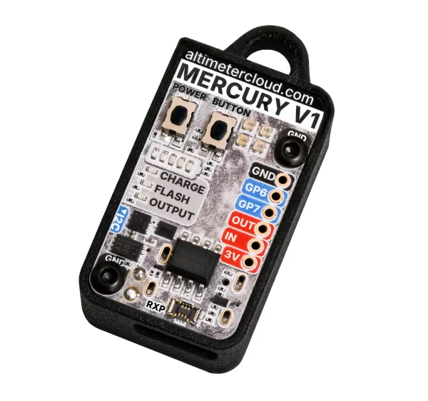
Flights from this altimeter
Settings, as they were for this flight
Xcweather.co.uk is a decent place to grab pressures from for your location and time.
The altimeter keeps a constant average of the pressure while waiting for launch, it uses a simple algorithm and the pre-flight buffers to do this. The most recent 120 samples (~4 seconds) are ignored so your pre-trigger altitude won't effect the ground baseline.
For almost all uses we suggest keeping this on the 25 Meter (~82 feet) default settings. If you want to test your altimeter by throwing it in the air, or are planning a very low flight you may want to lower the setting.
The samples stable method waits for the devices altitude not to change for the set number of samples. This is defined by not changing by more than +/- 1.0 meters for 98% of the samples, it's a reliable method to stop the recording after landing within 8-10 seconds (300 sample) or 16-20 seconds (600 sample).
The sensor can run at 50 samples per second in 4X mode, so we suggest leaving it in this mode as it will offer the highest accuracy.
We suggest not setting this too high as it will cause delay to changes in altitude if set very high.
The Kalman filter uses a prediction step based on a system model and then a correction step using new measurements to refine its estimate, it creates accurate most certain results from data with noise in it.
With this disabled the launch is based only on pressure and something that creates a low pressure can trigger the flight by accident. For example pulling your nose cone off can even trigger it.
With this enabled the rocket also needs to have seen 8 samples (0.25 seconds) of acceleration above this setting in the last 3 seconds as well as the pressure drop to trigger. There is a backup trigger of 1.05 seconds of altitude being above the launch detect setting too.
There are very few situations where this option would cause issues, so we suggest leaving it on.
Files
This file is built here from the signed log, so it carries no signature of its own. Anyone verifying a claim should be sent to the flight page and build their own from the original.
Share this flight
Chart snapshot
A PNG of the chart exactly as you have it set right now: the series you have switched on, your zoom, your labels and any pressure correction applied.
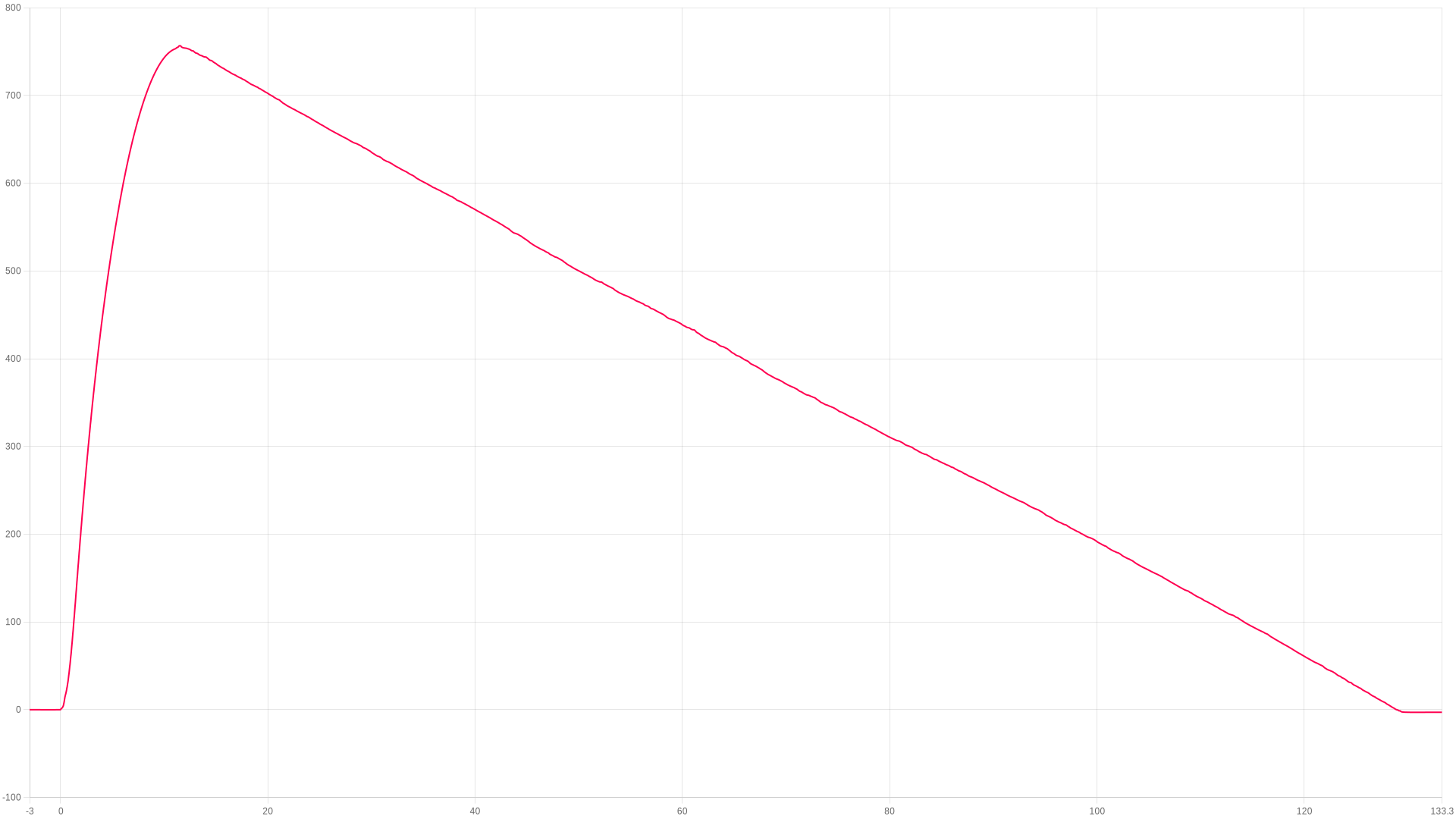
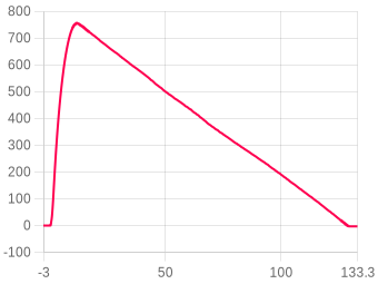
Hotlink images
Stored images of the whole flight, altitude only, not your current chart view. Transparent, regenerated whenever the flight changes, and safe to hotlink on a forum.
QR code
Links to this flight page. Useful on a range card or a club display.
Commentaires